
Project name: Chappell Hill Historical Plan
Category: Planning
Client: City of Chappell Hill
Area: 3.5 ac
Location: Chappell Hill, TX
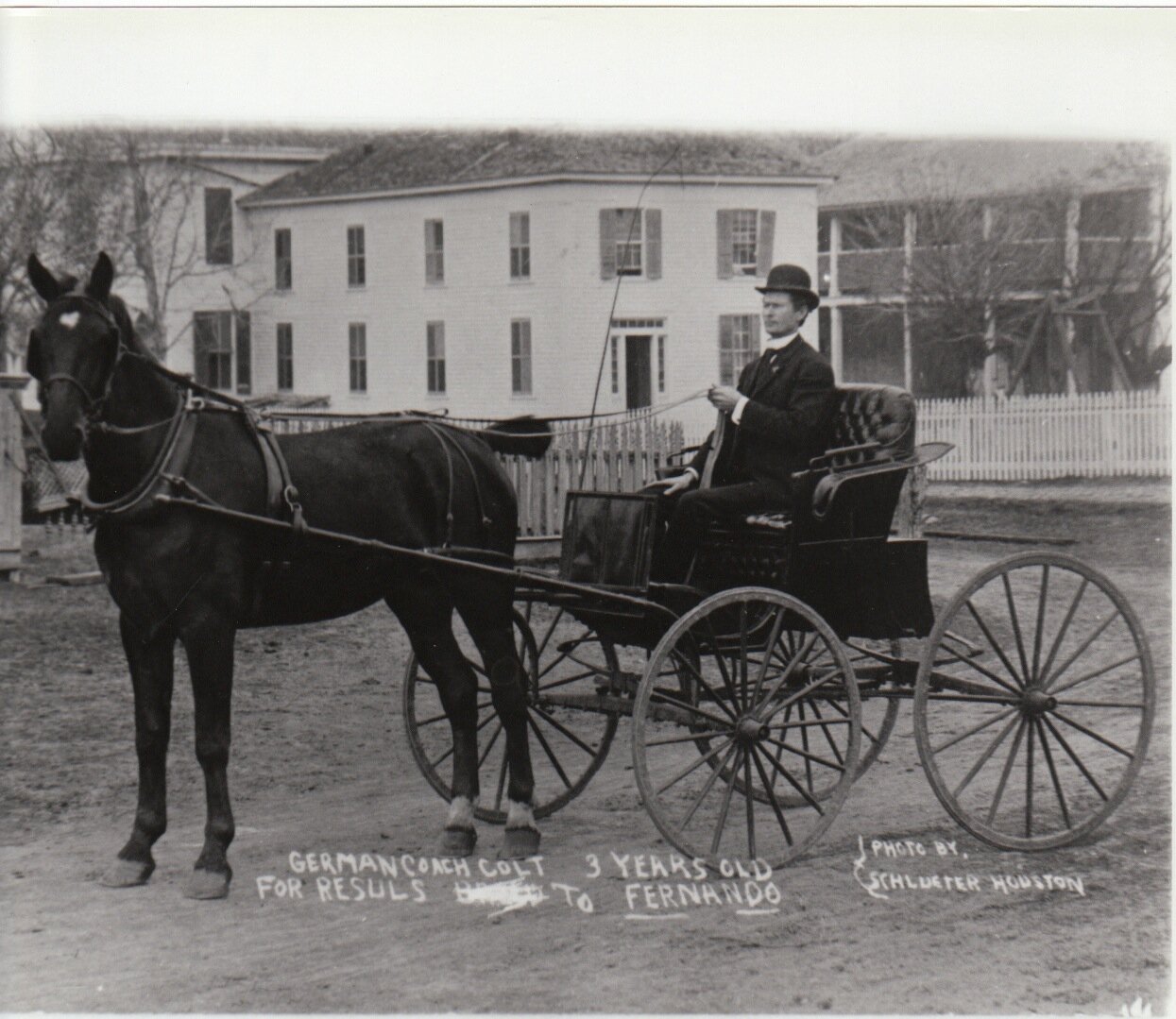
The Chappell Hill planning study was predicated on the Historical Society’s desire to set out a long range plan for the museum, identify critical factors adversely impacting the historic village area and identify opportunities for the Village’s future preservation and possible growth. SLA gathered historical photos and narratives from the Museum and private collections. Significant information collected included the Chappell Hill Multiple Resource Area (MRA) as defined by The National Register of Historic Places, 1985, the Chappell Hill Main Street Historic District as defined by The National Register of Historic Places 1985, the approximate boundary of the 1986 incorporation initiative as well as the approximate boundary of the 2009 incorporation initiative. As ideas were explored and missing streets discovered in plan and photo, thought provocation caused new ideas to emerge. The Village’s missing streets, businesses and institutions comprise a great story of a Town born with a grand vision and almost destroyed by a virus, never again to reach its early greatness.
Many barriers and adverse impacts to the Village’s urban fabric had occurred due to the abandonment of the 1856 incorporation that resulted from a special act of the Texas Legislature. The plan identified significant encroachments into public right-of-ways, infill opportunities, historic street patterns of which there were limited but discernible fragments and connections to the rail line that had connected the then city to the cotton markets in Galveston.
The plan identified areas of opportunity for growth and development as well as a strategy for preservation. A detailed Museum Master Plan was also produced.

